The name is pretty foreboding. Death Valley is the deepest valley in North America, extending 282 feet below sea level.
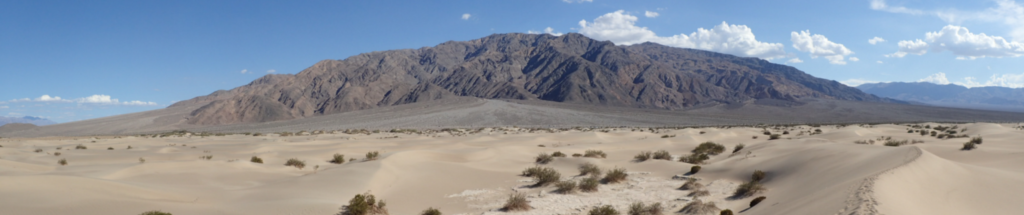
Death Valley was given its English name by the ill-fated group of settlers attempting a shortcut across the valley as they tried to reach California’s gold fields in 1949. Fortunately, it was winter when it’s actually often colder than our part of Arizona, despite the 120+ summer days. The 49ers ended up at what’s now Burned Wagons Point, staring at Tucki Mountain (above), wondering how to get across. In the winter of 2015, we hiked into McLean Spring, the water source just below the point.
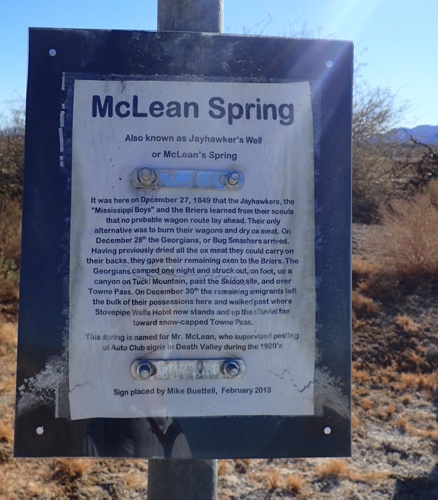
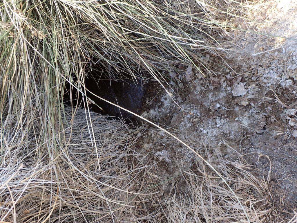
Purely by chance, we hiked in on the 166th anniversary of the emigrants leaving the spring to cross Tucki Mountain to the west. McLean is unusual because the water is drinkable. It’s very close to Salt Creek, which is not drinkable by people, but home to a population of pupfish.
Death Valley is most famous for the remarkable temperatures recorded there in the summer. The widely claimed record is 134 degrees Fahrenheit, recorded in 1913, however a recent analysis which is well accepted disputes that. The highest reliable temperature, if it is validated, is 130 set on August 17 2020, at Furnace Creek Ranch, where we normally stay.
On the trip at the end of 2015, we did several hikes in the Salt Creek area. Here are those routes on a topographic map. There’s a blue track in the lower right where we tried to get in using the trail that comes off the Salt Creek Interpretive Trail, but encountered a section we didn’t want to cross. Then we tried from the north and found the spring after some wandering, also a blue line. We went back using the most direct route two days later, the green line.
One thing you should notice about the green is that it’s very straight coming off of Highway 90 in the upper left, the does a curve and becomes straight again, almost like we were on a road. We were!
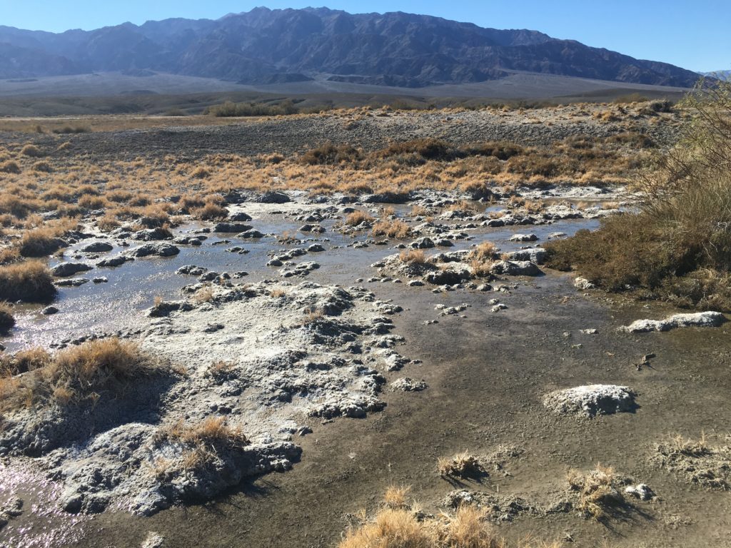
This old graded dirt road parallels the paved north-south road through the valley. It can be traced on Google Maps from miles north of where we picked it up down to the vicinity of Furnace Creek. It was probably the original road, but I can’t find any record of it. In the very dry valley, it’s been preserved for many decades. On our first trek in, we left the road and made our way through Salt Creek Valley, which was tough going because of the stands of pickle weed and the almost random wet areas. Salt Creek is where very mineralized fossil water that that has percolated down into the valley over hundreds of years or more comes to the surface and flows down toward Badwater Basin, the lowest point. Here’s Salt Creek looking creek-like, near McLean Spring looking southeast. The brownish ground cover is the pickle weed. The mountains is the background are part of the Amargosa Range, the east side of the valley.
Further down there are big pools where the pupfish, Cyprinodon salinus, hang out. Past that is the section with the boardwalk interpretive trail, also with pupfish constantly swimming against the current. This is a view of the creek and pools at the point where the drop-off on the trail was steep enough that we were unwilling to go further north toward McLean and found the way in going south from Highway 190.